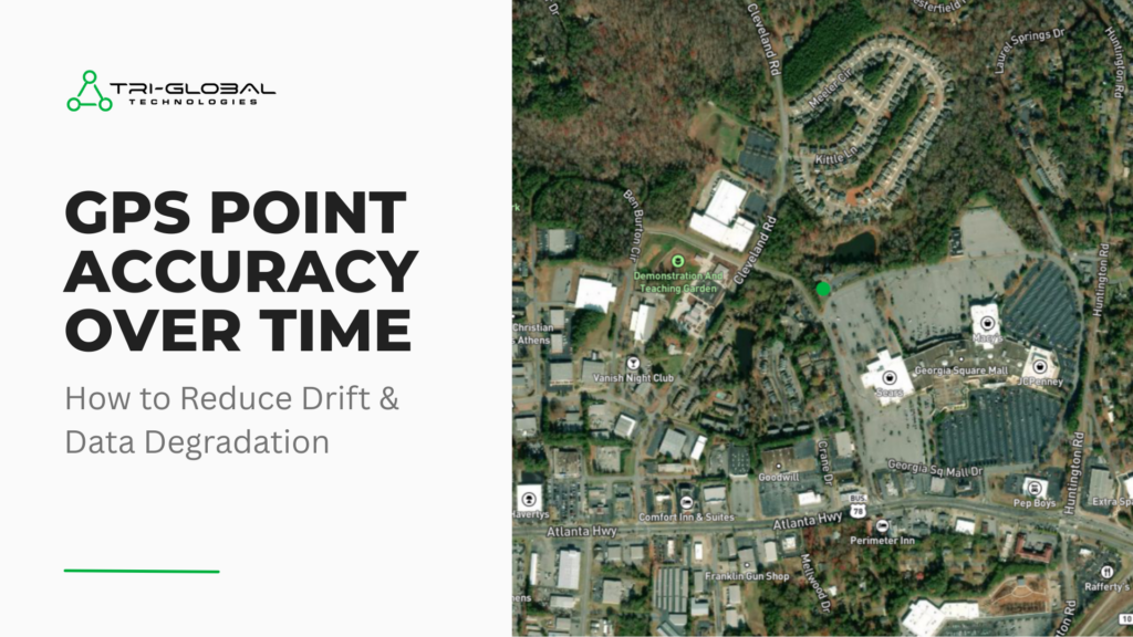
The Illusion of Permanent Data: GPS Accuracy Over Time Causes of and Strategies for Mitigating Drift and Data Degradation You invested in a fleet of high-precision GNSS receivers and paired them with the perfect companion software to integrate into your existing workflow – maybe you even chose Asteri GNSS and use it with Orbitas or […]
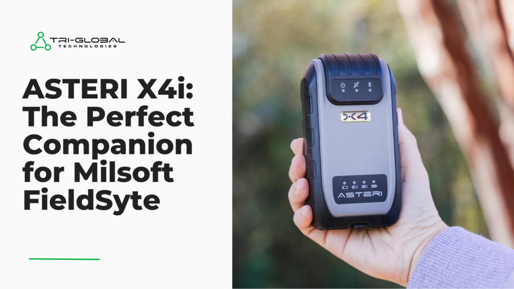
Unlock Centimeter Accuracy in Your Milsoft FieldSyte Workflow with the Asteri X4i Why the Asteri X4i is the GNSS receiver chosen by Milsoft FieldSyte users If you’re an engineer, you need the most powerful and customizable tools at your disposal. For users relying on Milsoft FieldSyte for complex electrical models, staking, and design jobs, a […]

Today marks an exciting milestone as we officially launch the refreshed brand for Tri-Global Technologies. This is more than just a fresh coat of paint; it’s an exciting visual evolution designed to better reflect our core values and our vision for the future. As you may have noticed from our recent newsletters, this refresh unifies […]

Orbitas: Advanced Tools Unlock the true power of Orbitas with these advanced tools you’re not using (but should be) At Tri-Global, we pride ourselves on building powerful, precise tools that meet the highest standards of geospatial professionals like yourself. While many of our Orbitas users are experts in the field, we often find that some […]
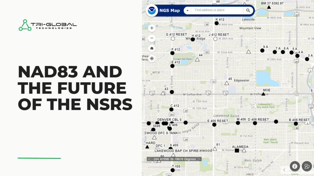
NAD83: A Comprehensive Guide for the North American Datum of 1983 Including insights on the National Spatial Reference System Modernization. NAD83, or the North American Datum of 1983, is a geometric datum used as a reference point for mapping and surveying in the United States, Canada, Mexico, and Central America. With the help of satellite […]

Unlock your potential and advance your career in the Geospatial Industry with a GISP certification For both emerging GIS (Geographic Information Systems or Science) professionals eager to capitalize on their education and seasoned geospatial experts aiming for career advancement, increased income, and community contribution, the GISP (Certified GIS Professional) certification from GISCI (GIS Certification Institute) […]
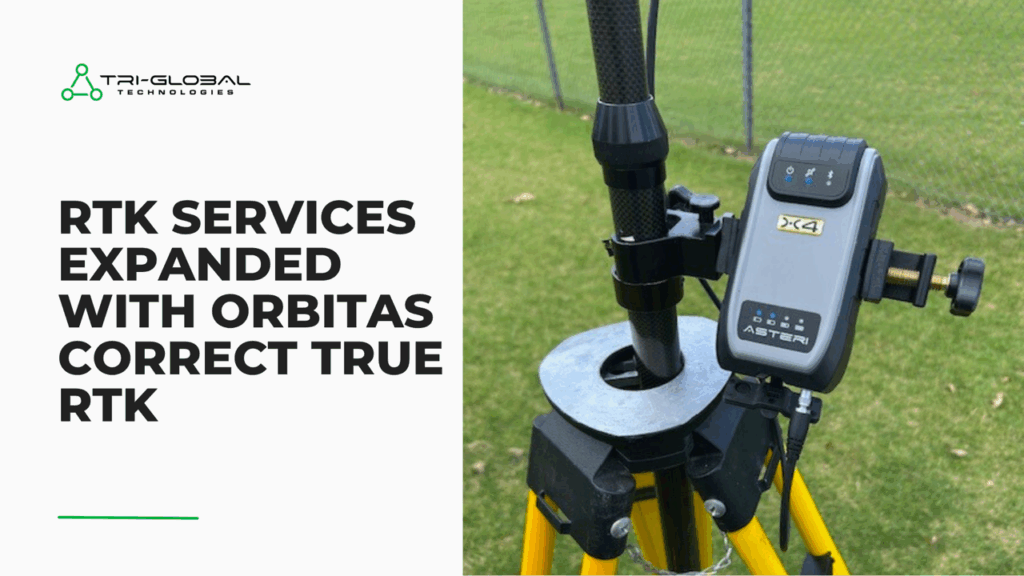
Orbitas Correct, powered by Point One Navigation, expands to provide Virtual RTK and True RTK corrections If you’re a geospatial professional that relies on accurate positioning for GIS spatial analysis, mapping, or informed decision making, then you probably use an RTK (real-time kinematic) correction service. The level of accuracy required for your data collection may […]
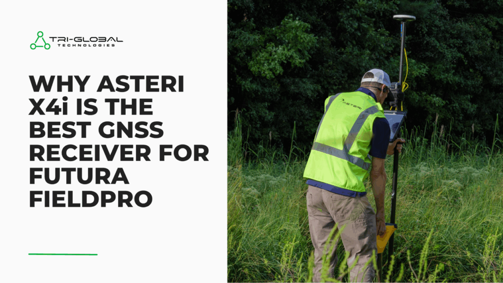
Getting the most out of Futura FieldPro with Asteri GNSS Receivers If you work for an electric cooperative or utility company and use Futura GIS for spatial analysis, mapping, or decision making, then chances are you’re using Futura FieldPro for your customer service and asset management. The level of accuracy needed for your data collection […]
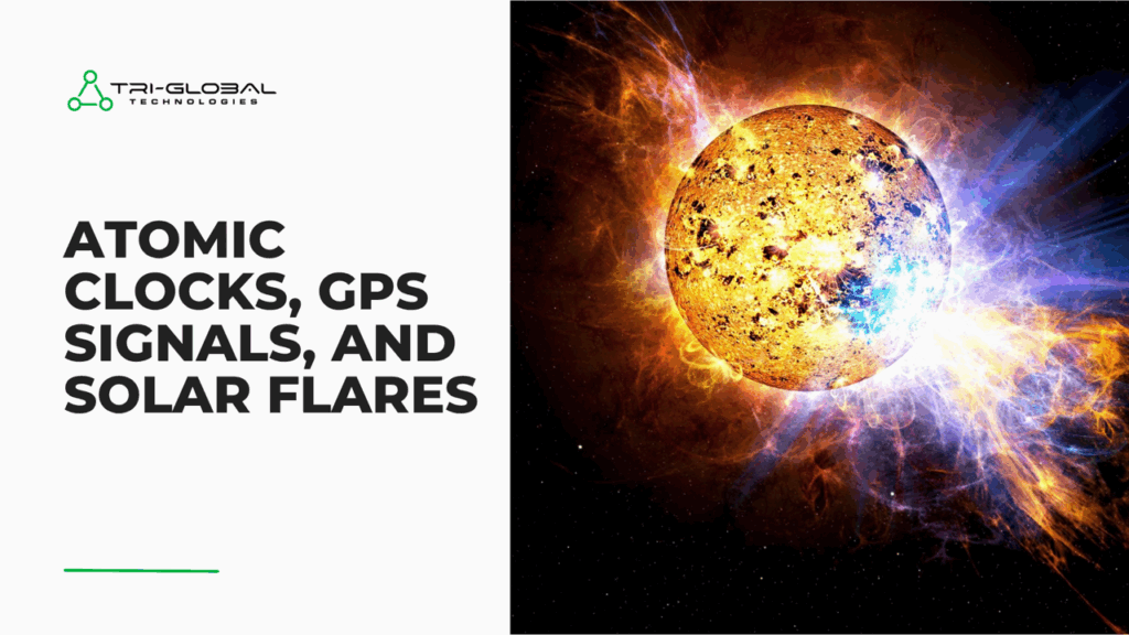
Advancements in Timekeeping and How to Prepare for Disruptions from Increased Solar Activity NIST-F4 Atomic Clock Paves the Way for Improved Positional Accuracy In late April, Scientists at the NIST (National Institute of Standards and Technology) published results for a new atomic clock, the NIST-F4. If the NIST-F4 started ticking 100 million years ago, it […]

As urbanization and infrastructure development continue to accelerate, pinpointing the precise location of our subsurface and above-ground assets is more critical than ever. In the past, utility professionals relied on outdated and often inaccurate data gathered through “pen and paper” methods. This resulted in errors, costly damage to underground assets, and slower response times to […]
