
While Esri Field Maps is a widely used and powerful tool for mobile data collection, the quality of the spatial data is only as good as the hardware behind it. Relying on the internal GPS of a standard mobile device or an outdated GNSS receiver often results in a 1-meter margin of error. This is often fine for locating a building, but insufficient for locating a buried valve or a specific utility pole.
The Asteri GNSS line of receivers is designed to close that gap. Specifically engineered for seamless integration with the Esri ecosystem, Asteri receivers transform your mobile device into a professional grade high-precision mapping tool.
Integrating an Asteri receiver into your ArcGIS workflow isn’t just about getting a better GPS point on the map but data integrity and field efficiency.
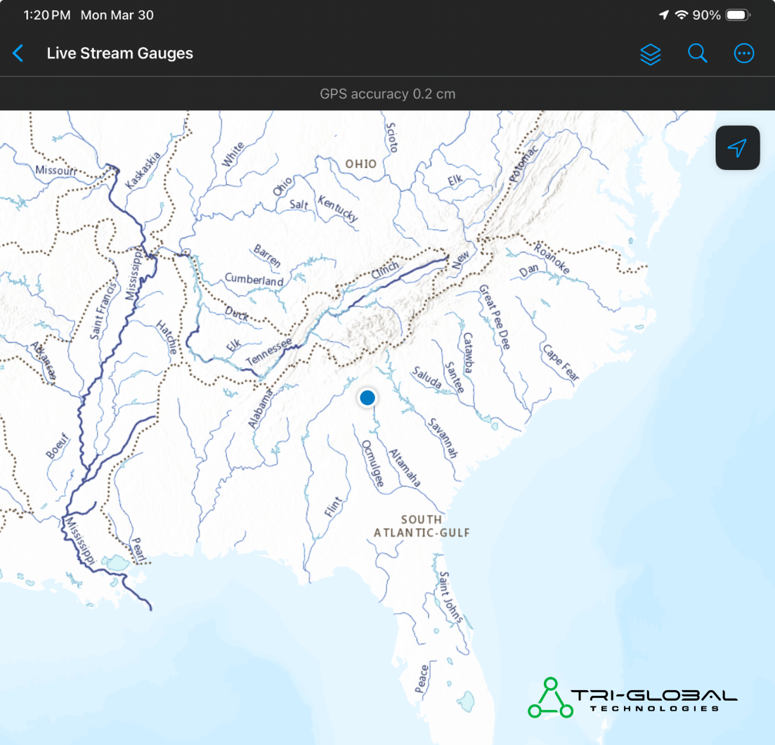
A screenshot captured in Athens, GA, on March 30, 2026, using an Asteri X4i with Orbitas Correct in Esri Field Maps. The image demonstrates a high accuracy of 0.2 centimeters.
While the Asteri X4i delivers incredible results out of the box, the true secret for high-precision workflows is Orbitas Correct. Powered by Point One Navigation, Orbitas Correct delivers centimeter-level RTK (real-time kinematic) corrections directly to your device.
Fieldwork doesn’t happen in perfect conditions, and your hardware shouldn’t be treated as a disposable commodity. Asteri GNSS receivers are engineered to thrive where others fail.
|
FEATURE |
Asteri X4i |
Typical Industry Standard |
|
Battery Life |
Up to 20 hours (Field-Changeable) |
8-10 hours (Often Integrated) |
|
Repairability |
Full Repair Options Available |
Often “Unit Exchange” or Disposable |
|
Satellite Channels |
965 Channels (Multi-Frequency) |
400 – 1000 Channels |
|
Warranty |
Extended Protection Available (Up to 5 Years of Coverage) |
Standard 1-Year Limited |
|
Portability |
Handheld, Armband, Backpack or Rod |
Primarily Pole-Mounted |
|
OS Compatibility |
Certified MFi (iOS) and Android |
Often Windows or Android Only |
Connecting your Asteri receiver to ArcGIS Field Maps is a straightforward process that takes less than two minutes.
Looking for detailed instructions for using Asteri with Esri Field Maps and your Android or iOS device? Review our support materials below:
Pairing Asteri GNSS to Esri Field Maps [iOS Guide]
Pairing Asteri GNSS to Esri Field Maps [Android Guide]
Whether you are mapping buried utilities, staking out new infrastructure, or conducting environmental surveys, the combination of Asteri GNSS and Esri Field Maps provides the reliability and precision your mission-critical data deserves.
Ready to upgrade your field accuracy? Learn more about Asteri or request your free 2-week demo below.
Is it possible to use Asteri GNSS receivers with other GIS software solutions?
Yes, the entire line of Asteri GNSS receivers are designed to integrate with nearly any GIS software environment. With data streaming in the NMEA format, the Asteri X4i is compatible with Orbitas, Diamond Maps Offline, ESRI ArcGIS, Geolantis.360, Milsoft FieldSyte, Partner Field Design, QField, RC Map Engine, and more.
Are there any additional fees or subscription costs to using Asteri?
No, there are no mandatory subscription fees or hidden costs required to use your Asteri GNSS receiver with Esri Field Maps or any other NMEA-compatible software. The cost is the one-time purchase price of the receiver.
The only potential ongoing costs are for optional services:
We believe in complete transparency; the price you see for the Asteri receiver is the price you pay to achieve high-accuracy mapping.
How quickly can I start using my Asteri receiver?
Every Asteri receiver is ready for immediate use. You only need to install the battery and power on the device.
How long does it take to set up Asteri in Esri Field Maps?
Connecting an Asteri to Esri Field Maps can be done in 3 simple steps:
Once these 3 steps are complete, Field Maps will automatically recognize your Asteri device in the future.
What is Orbitas?
Orbitas is a mobile data collection application that comes with a web-based management tool, allowing field crews and office crews to work simultaneously. Orbitas allows geospatial professionals across industries to collect, analyze, and manage data in an intuitive and powerful environment.
Users can set up their own coordinate systems, apply custom configurations, store photos, create templates to increase efficiency, perform calculations in the field, and export data into nearly any format needed to integrate with your existing workflow. Orbitas is compatible with Asteri GNSS receivers, including the Asteri X4i, and can also be used to further enhance your data management in conjunction with other GIS software applications.
What is Orbitas Correct?
Orbitas Correct, powered by Point One Navigation, delivers centimeter-level RTK (real-time kinematic) corrections for GIS, mapping, and staking applications. With true nationwide coverage, competitive pricing, and the ability to easily switch between local and ITRF correction datums, Orbitas Correct provides the precision you need for even your most demanding requirements. Plus, when used together, you can avoid having to sign into another service; Orbitas Correct applies automatically to Orbitas subscriptions, making your field workflow that much more efficient.
Is Orbitas Correct required to use Asteri with Esri Field Maps?
No, Orbitas Correct is not required to use Asteri with Field Maps. While Asteri and Orbitas were engineered together, Asteri can be used with any GIS software environment that streams in NMEA format, including Esri Field Maps, without Orbitas or Orbitas Correct. Orbitas Correct is an optional add-on for those with the most precision-critical applications.